


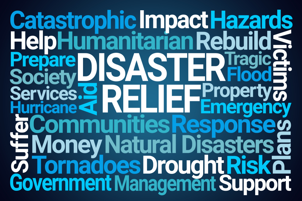
Estimating losses after natural calamities is a complex process that combines field surveys, satellite data, historical patterns, and economic modeling. Immediately after a disaster, officials conduct an initial assessment, gathering rapid damage reports from district administrations, police, and disaster management teams. Key focus areas include roads, bridges, schools, hospitals, houses, farmland, crops, livestock, and power infrastructure.
Next, field surveys are conducted by teams of officials, engineers, and agriculture officers. Crop surveyors check the area submerged, stage of growth, and potential yield loss. Buildings and infrastructure are assessed for full or partial destruction, while livestock losses are counted.
Satellite and remote sensing data complement these surveys. Drones and satellites map flooded areas, while Normalized Difference Vegetation Index (NDVI) images help estimate crop loss by comparing current conditions with normal-season growth. Infrastructure damage, like roads, bridges, and power grids, can also be identified remotely.
Economic valuation converts these physical losses into monetary terms. Crop losses are calculated as area affected × average yield × market price. For example, if 4 lakh acres of paddy are damaged with an average yield of 4 tons per acre at ₹3,500 per quintal, the loss is roughly ₹5,600 crore just for paddy. Building and infrastructure costs are estimated using replacement or repair costs, and indirect losses, such as supply chain disruptions and lost income, are added.
Finally, aggregation and verification combine all losses. Often, 10–20% is added to account for underreporting. Figures like ₹20,000 crore typically include calculated losses plus contingency funds for rehabilitation, loan waivers, and rebuilding. These estimates are reviewed by state and central agencies and sometimes verified by independent third parties.
In short, disaster loss figures are not guesses, they are calculated using detailed field data, satellite imagery, and economic modeling to give governments a clear basis for relief planning.


Post a comment


LxmePay Empowers Women with Smart UPI & Wealth Tools!
India’s first UPI built specifically for women converts every transaction into savings, digital gold and...
GST 2.0 slashes prices, Makes essentials tax-free!
GST 2.0 revamps tax slabs: TVs, cement, vehicles drop from 28% to 18%, staples like...
Analysts spot mid-caps with 25%+ rally potential!
Market breadth is driving optimism in mid-caps. Analysts expect rally ahead of GST clarity, as...
States’ debt surge, EC form-7 & River silt issues!
CAG reveals states’ debt has trebled in decade. Also, new EC Form-7 procedures and rising...


